
Public-data prototype
Surrey development and destinations explorer
An interactive 3D map of Surrey development applications with civic places, SkyTrain and plan areas.
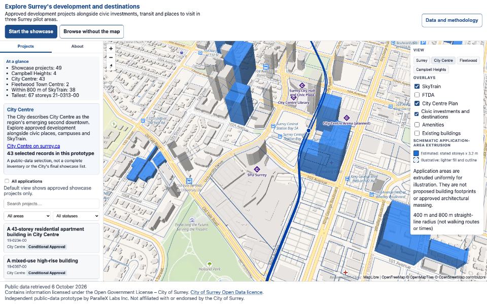
What it shows
The explorer brings development applications, civic places, SkyTrain and plan areas together in a 3D map.
This prototype is not a City of Surrey service.
Data and implementation
The prototype uses public open data. Its source code includes the map application, a reproducible data pipeline, accessibility tests and end-to-end tests.
Status and limits
This is a research and development prototype. It is not presented as a client deployment.
Contact
For enquiries about digital maps and data analysis, email info@parallexlabs.ca.